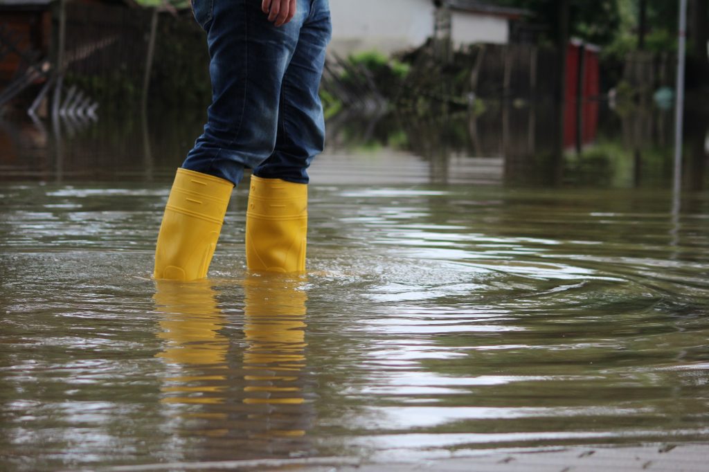
Flooding is definitely no picnic and something no homeowner ever looks forward to. Utilities Kingston warns that any home with a basement runs the risk of flooding simply because it is a space below ground (you can read their article on basement flood awareness here).
Whether it be stormwater, surface water, groundwater, or sewage water, staying prepared can limit the amount of damage in the event that your home does flood. Certain neighbourhoods in Kingston, especially those that are low lying from the many waterfronts in Kingston, are more susceptible to flooding than others – and there are reasons why.
To aid you in your home search or just to provide a point of reference as a homeowner, here is our research on why Kingston neighbourhoods have flooding issues.
The Kingston Waterfront, From So Many Sides
It is not unheard of for the Cataraqui Region Conservation Authority to issue spring flood warnings to Kingston residents. Just a couple of days of rain can lead to higher water levels in both Lake Ontario and the St. Lawrence River. Most of us have seen how bad areas such as Front Rd. and area can get.
Flooding seems to be becoming more of an issue as well – last year, water levels were already 30 cm above their average peak for the summer season in early April. Because so many areas in Kingston especially are within walking or “flooding” distance from the waterfront (Lake Ontario, the St. Lawrence River, Cataraqui River, etc), it’s difficult to completely get away from any chance of flooding, however, staying high-lying from water is ideal.
For anyone living along the low-lying waterfront in Kingston, the chance of flooding from higher than average water levels is always present. Thankfully, homes built on the water are usually built with flood precautions such as proper flood-preventative landscaping and grading put in place, however, it is always important to be prepared.
Kingston’s West End Has Also Seen Flooding Issues
Neighbourhoods in Kingston’s Wes tend, such as Lombardy St. which saw extreme flooding from a thunderstorm inducing downpour in June 2020, and the Lakeland Point area which was hit hard during 2017, are also susceptible to flooding due to their closeness to marshlands as well as little ability to drain water accumulation during larger storms. Undersized storm sewers in this region are just not equipped to get rid of so much water in such a small amount of time.
In these areas and other older neighbourhoods in Kingston, storm and sewer drains are the same where ideally they should be separate. This, the city has confirmed, is an expensive and disruptive project that would cost the municipality and homeowners a lot of pain and money.
The pumping station on Lombardy has also been ill-equipped for the rising number of storms with a larger overall Kingston population – something that has been an issue for many years already.
Is it Climate Change? What is Causing Flooding in Kingston?
Yes, many news and weather sources are citing a rising number of rain showers each year. However, many residents are claiming that they never worried about floods at all until Plan 2014, a water regulation plan that manages water levels on the St. Lawrence River and Lake Ontario came into action. Many government representatives for cities along Lake Ontario, including New York, stated that “flooding only became a problem with the federal government signing Plan 2014.”
How are Kingston and the Government Attempting to Battle Flooding Issues?
In 2017, after huge flooding occurred across Eastern Ontario and affecting many Kingston residents, Kingston announced more than $20 million in federal funding for two infrastructure projects. The first involved separating sanitary and storm sewers in Kingston’s downtown core, a move the government says will “help protect over 31,000 Kingston residents against flooding.
The second involves building 2,140 metres of “sloping rock structure“ to reinforce the shoreline, and repairing a further 1,052 metres of existing shore wall. “Kingston’s economy was built on this lake,” Mark Gerretsen, Member of Parliament for Kingston and the Islands, said at the time. “A ton of our tourism industry is dependent on access to water: boat tours, sailing regattas, cottages in the area. Many of our industries are heavily dependent on having access to the water.” [information taken from TVO.org].
Want to find out if your home or a home you’re looking to purchase is within a flooding area? Reach out to speak with a member of our team today.